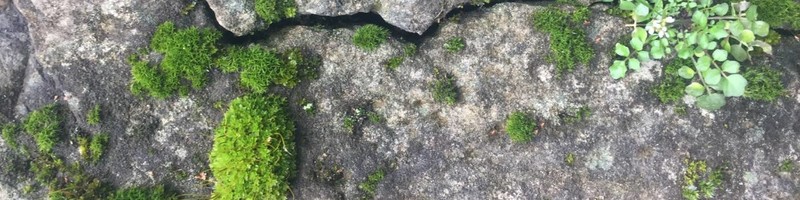
The business of looking down is looking up! LandScan is pioneering the new field of subsurface remote sensing where an image is worth a thousand data points. Just like images obtained from satellites or airborne platforms can be processed, analyzed, and classified so too can images of the full soil profile obtained with the DSC #digitalsoilcore. The imagery is fused with other DSC sensor and agronomic data in the #rootcauseanalytics system that produces tangible and practical insights and amazing never-before-possible discoveries. Learn more: https://landscan.ai/ #ii4ag #digitalagriculture #digitaltwins #soilscience #remotesensing
Interesting and wondering whether it may be possible to log a oil or gas well? What is the measurement physics? Thanks!
Congratulation, Dan! This is excellent. I love what you guys are doing here - the effective use of sensors, novel signal processing, machine learning, and IoT into dynamic systems models (aka digital twin). This is a formula that has proven effective across other industries including the earth sciences and oil & gas which is my background. Now you are applying it to smart Agtech, which is great!
It’s really amazing 🤩
Love this , great innovation / technology Good job 👍
Looks pretty cool Dan Rooney, PhD !
This clearly opens a whole new era of soil science. Physics, chemistry, biology.... As someone once said, "We don't know what we don't know."
Grain Data Solutions Inc. should pair with your satellite hyperspectral data and field maps
Vicky Temperton, take a look at it.
Agronomy and Capital Projects
1yI keep trying to pre order from your website and nothing works ?